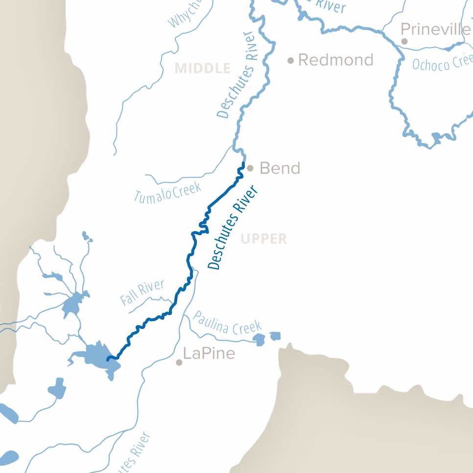
Upper Deschutes River

Restoring the Upper Deschutes Means Finding Balance in the Basin
The Deschutes River starts high in the Cascade Mountains at Little Lava Lake. It flows through two reservoirs, Crane Prairie and Wickiup, on its way to the City of Bend. Irrigation water storage in and release from these two reservoirs cause low winter and high summer streamflows.
Basin partners are advancing long-term solutions to restore healthier seasonal flow patterns in the Upper Deschutes. Through permanent instream protections, irrigation modernization, and voluntary water-sharing agreements, winter flows are expected to rise from approximately 105 cubic feet per second toward 300 cubic feet per second in the coming years. As these changes take hold, river conditions are steadily improving. This coordinated effort reflects a shared commitment to restoring balance in the Upper Deschutes while sustaining water reliability for farms, cities, and communities.