




Deschutes Basin
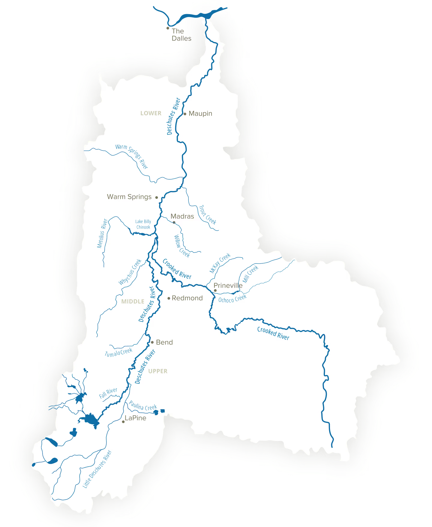
Interactive Watershed
Scroll to explore the map and learn more about the rivers and streams in the Deschutes River Basin, and the challenges they face. Use your mouse to hover over the map for a closer look.
Mapping the Deschutes Watershed
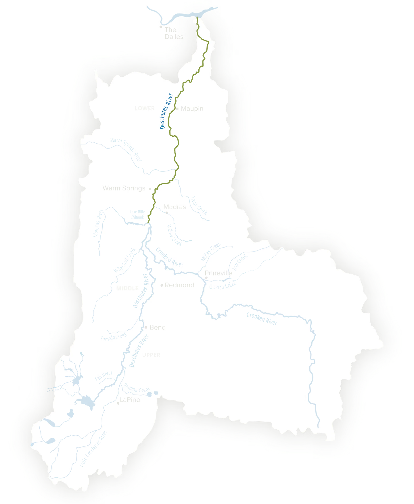
Lower Deschutes River
Location
Lake Billy Chinook to the Columbia River
Focal Species
Steelhead, Redband Trout, Chinook Salmon, Lamprey and Bull Trout
Challenge
Rising temperatures and toxic algae blooms create habitat and water quality issues for fish and wildlife
Mapping the Deschutes Watershed
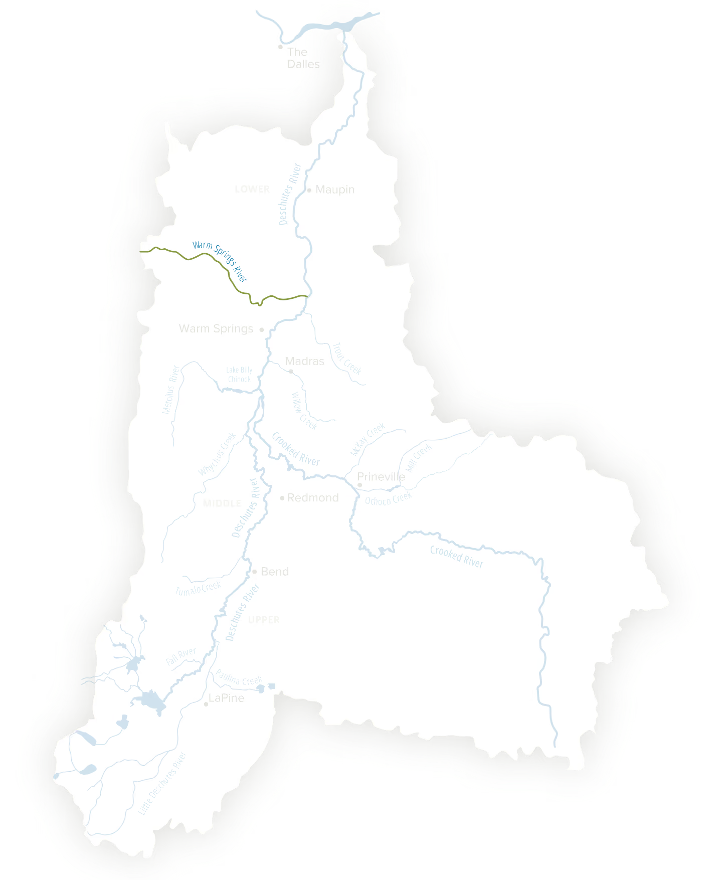
Warm Springs River
Location
Tributary of the Lower Deschutes River
Focal Species
Steelhead, Redband Trout, Chinook Salmon, and Bull Trout
Challenge
Reduced summer flows due to climate change leads to declining salmon populations. Rising water temperatures and degraded water quality and loss of riparian areas
Mapping the Deschutes Watershed
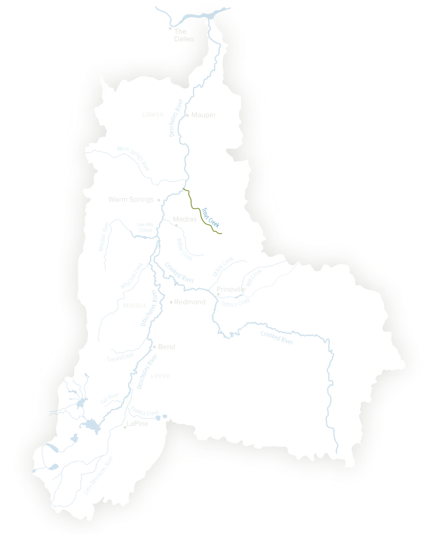
Trout Creek
Location
Tributary of the Lower Deschutes River
Focal Species
Steelhead and Redband Trout
Challenge
Low to no flow in the summer create habitat and water quality issues for fish and wildlife
Mapping the Deschutes Watershed
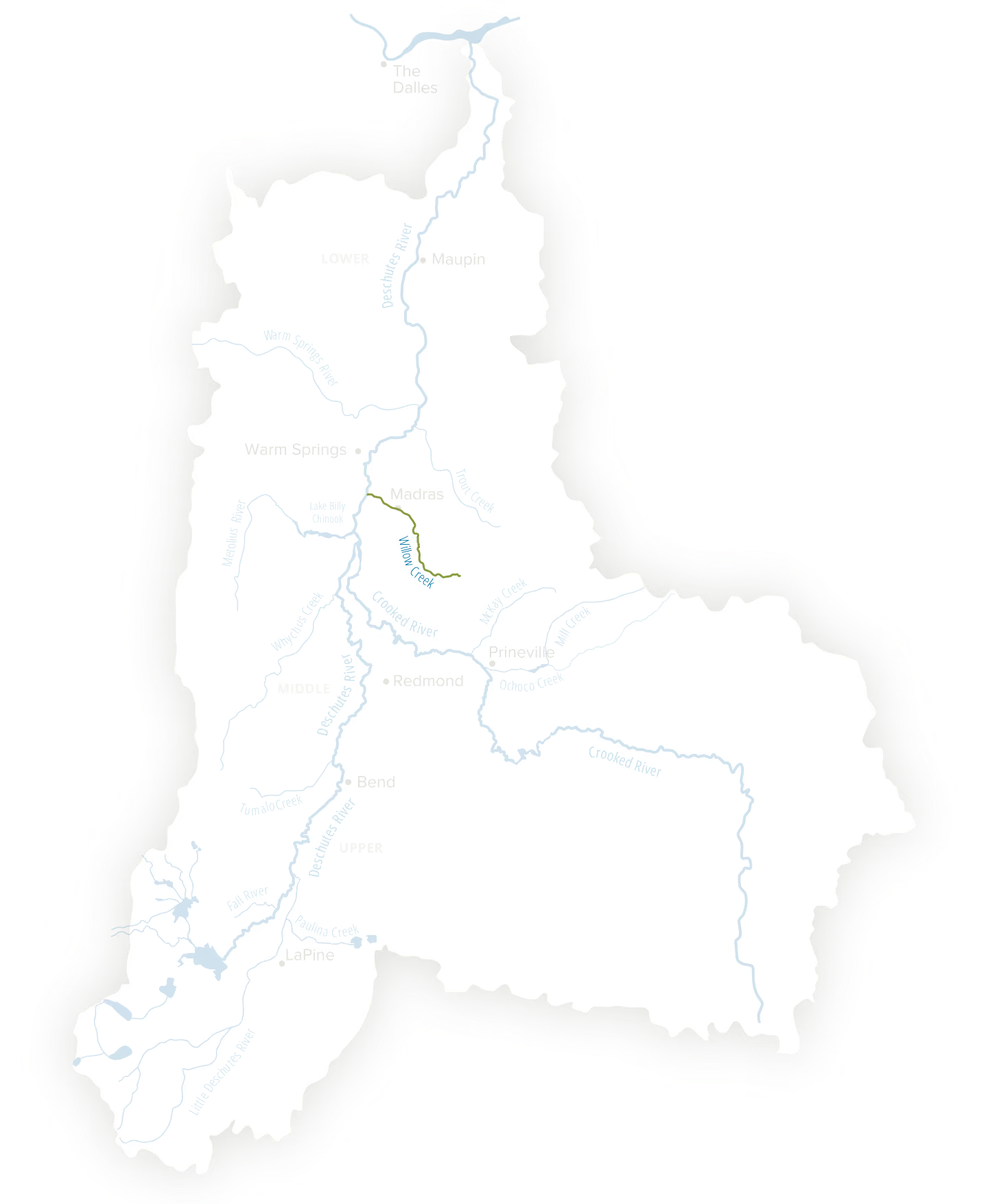
Willow Creek
Location
Tributary of the Lower Deschutes River
Focal Species
Steelhead and Redband Trout
Challenge
Runs dry each year due to seasonal low flows, lacks fish passage infrastructure, and has degraded riparian areas with no floodplain connection due to its proximity to Madras
Mapping the Deschutes Watershed
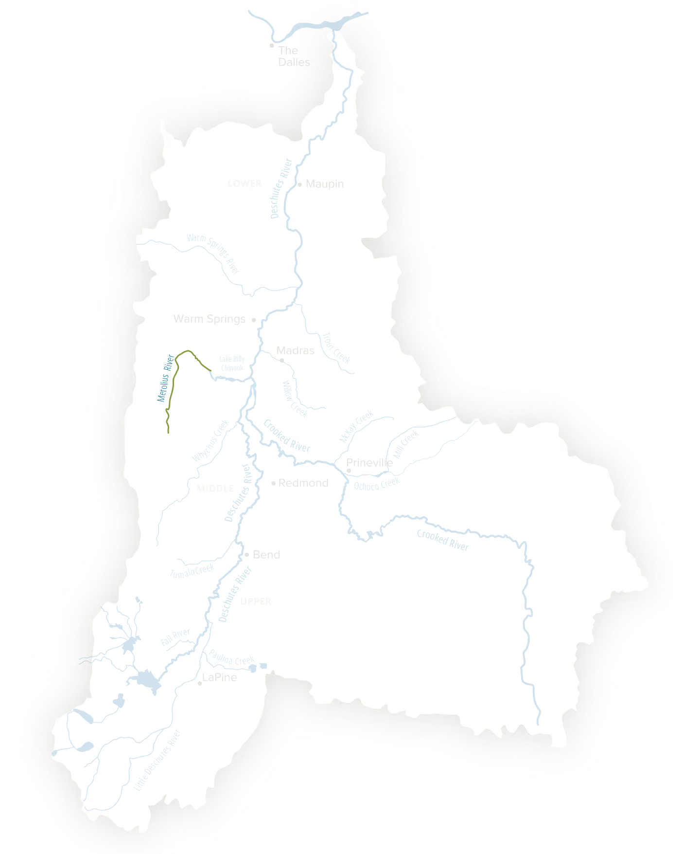
Metolius River
Location
Tributary of the Deschutes River with the confluence at Lake Billy Chinook
Focal Species
Sockeye Salmon, Bull Trout and Redband Trout
Challenge
Retains a relatively intact ecosystem but faces challenges from fluctuating headwater flows, invasive riparian plants, salmon and steelhead recovery efforts, groundwater declines driven by climate change, and recreation impacts
Mapping the Deschutes Watershed
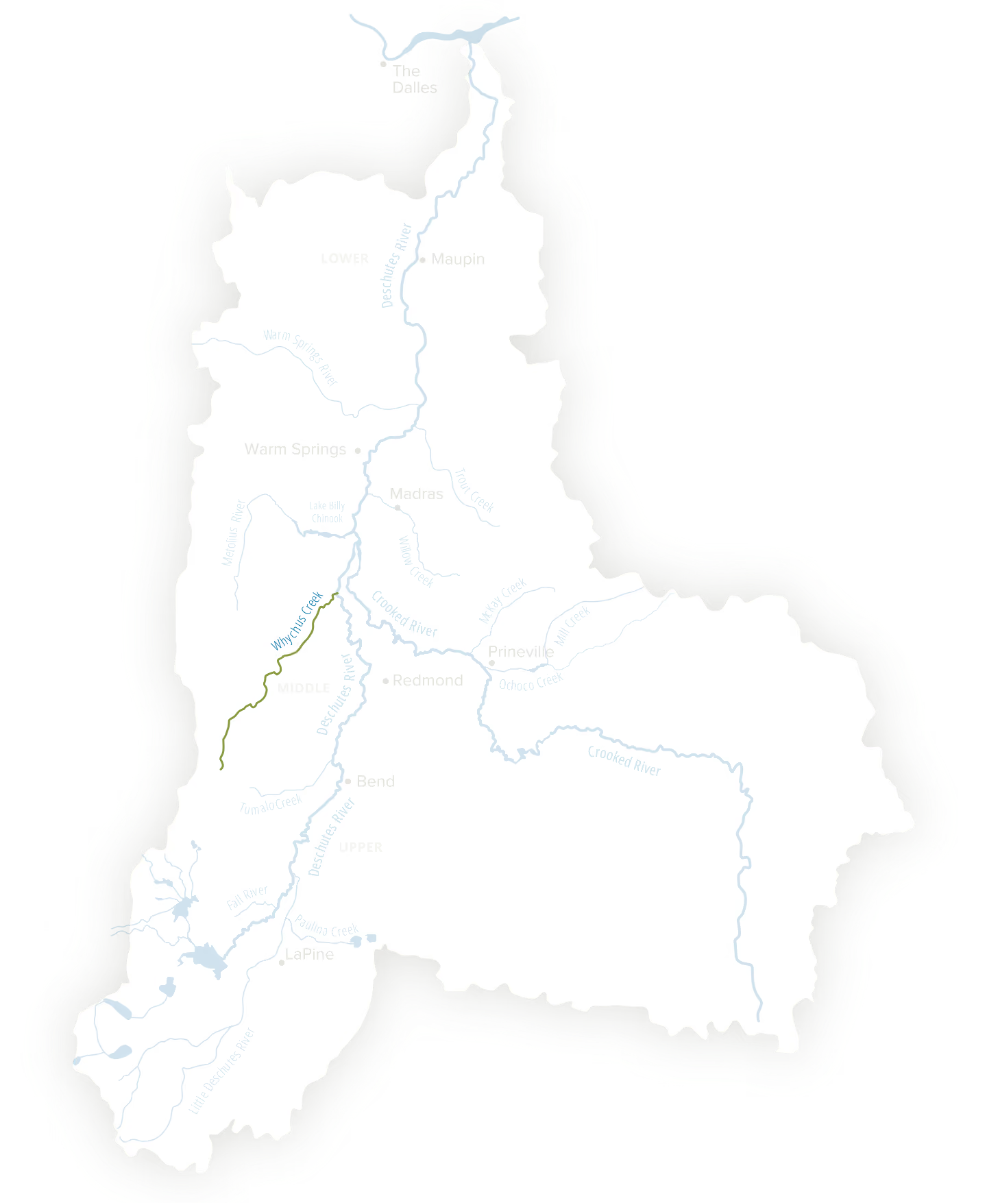
Whychus Creek
Location
Tributary of the Middle Deschutes River
Focal Species
Steelhead, Redband Trout and Chinook Salmon
Challenge
Low flows and increased temperatures in the summer create habitat and water quality issues for fish and wildlife
Mapping the Deschutes Watershed
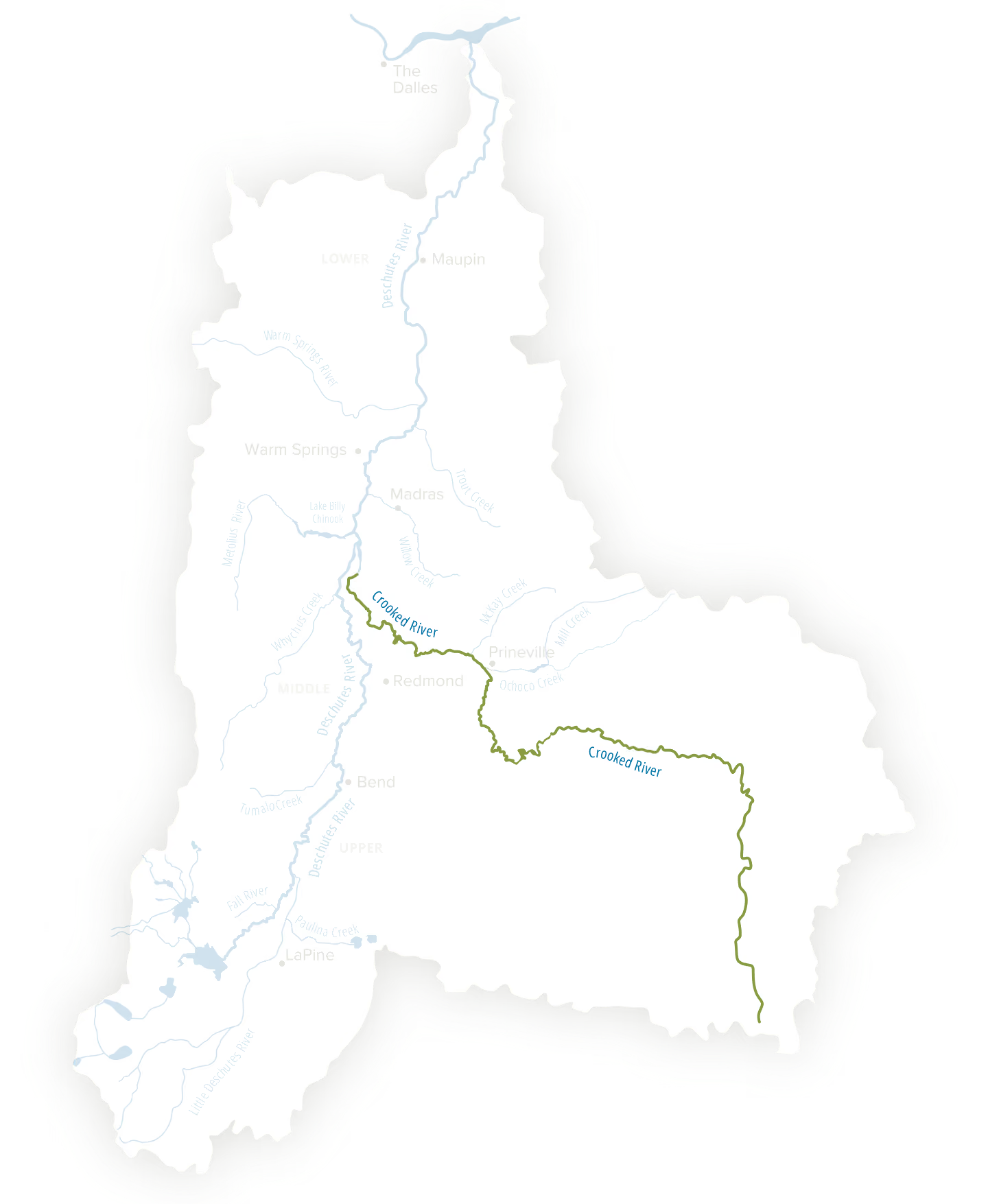
Crooked River
Location
Tributary of the Deschutes River with the confluence at Lake Billy Chinook
Focal Species
Steelhead, Redband Trout and Chinook Salmon
Challenge
Low flows and increased temperatures in the summer create habitat and water quality issues for fish and wildlife
Mapping the Deschutes Watershed
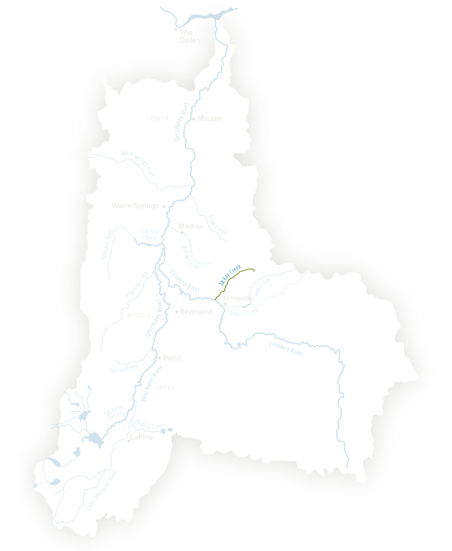
McKay Creek
Location
Tributary of the Crooked River
Focal Species
Steelhead, Redband Trout and Chinook Salmon
Challenge
Disrupted water flow, along with water and habitat quality affects fish and wildlife
Mapping the Deschutes Watershed
Ochoco Creek
Location
Tributary of the Crooked River
Focal Species
Steelhead, Redband Trout and Chinook Salmon
Challenge
Low flows and increased temperatures in the summer create habitat and water quality issues for fish and wildlife
Mapping the Deschutes Watershed
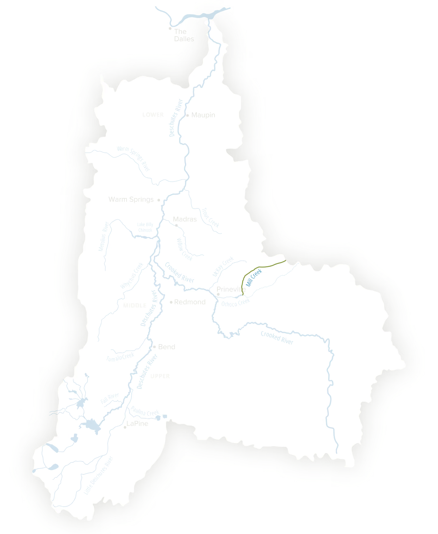
Mill Creek
Location
Tributary of the Crooked River
Focal Species
Redband trout
Challenge
Low flows and increased temperatures in the summer create habitat and water quality issues for fish and wildlife
Mapping the Deschutes Watershed
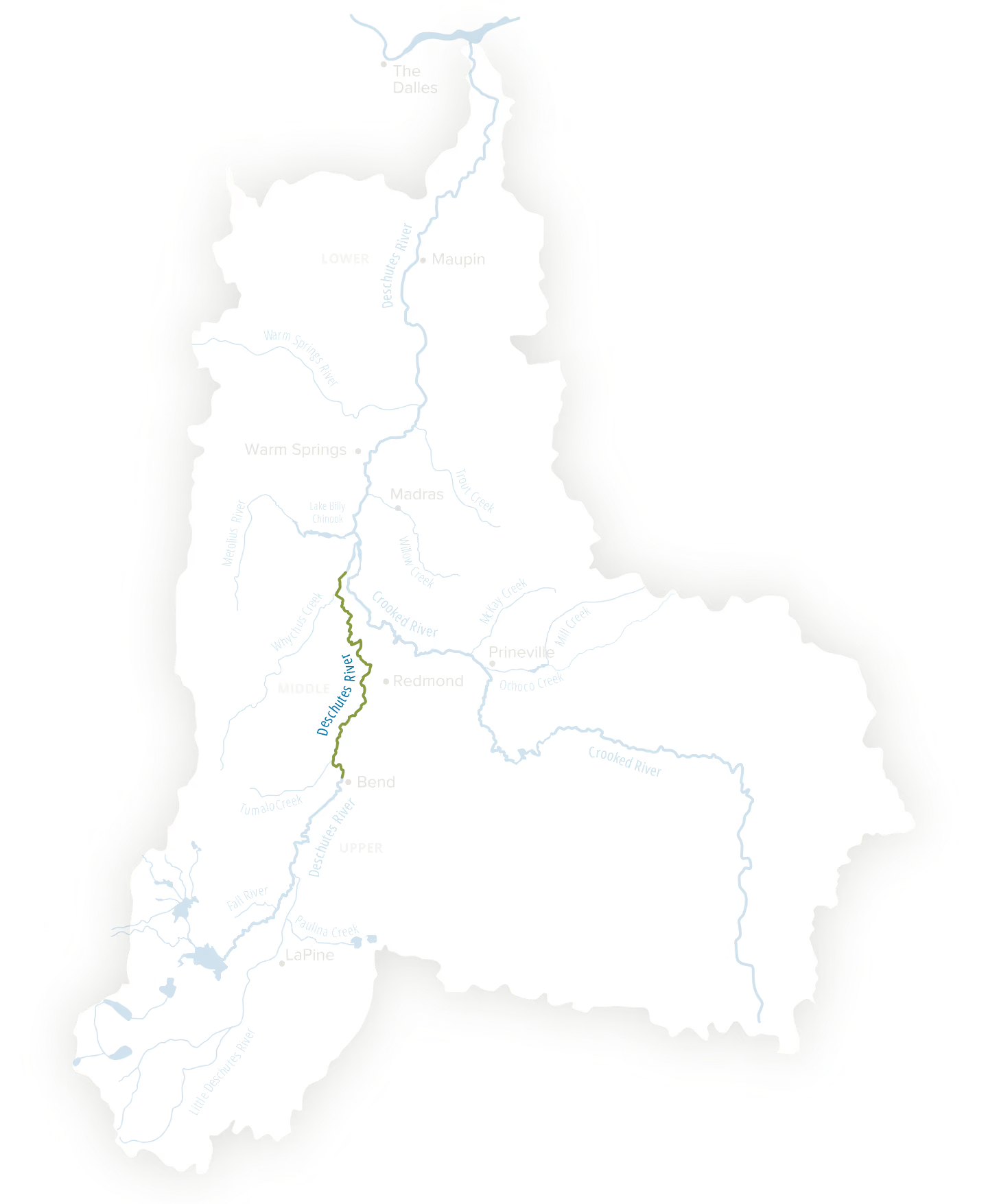
Middle Deschutes River
Location
Bend to Lake Billy Chinook
Focal Species
Steelhead, Redband Trout and Chinook Salmon below Steelhead Falls
Challenge
Low flows and increased temperatures in the summer create habitat and water quality issues for fish and wildlife
Mapping the Deschutes Watershed
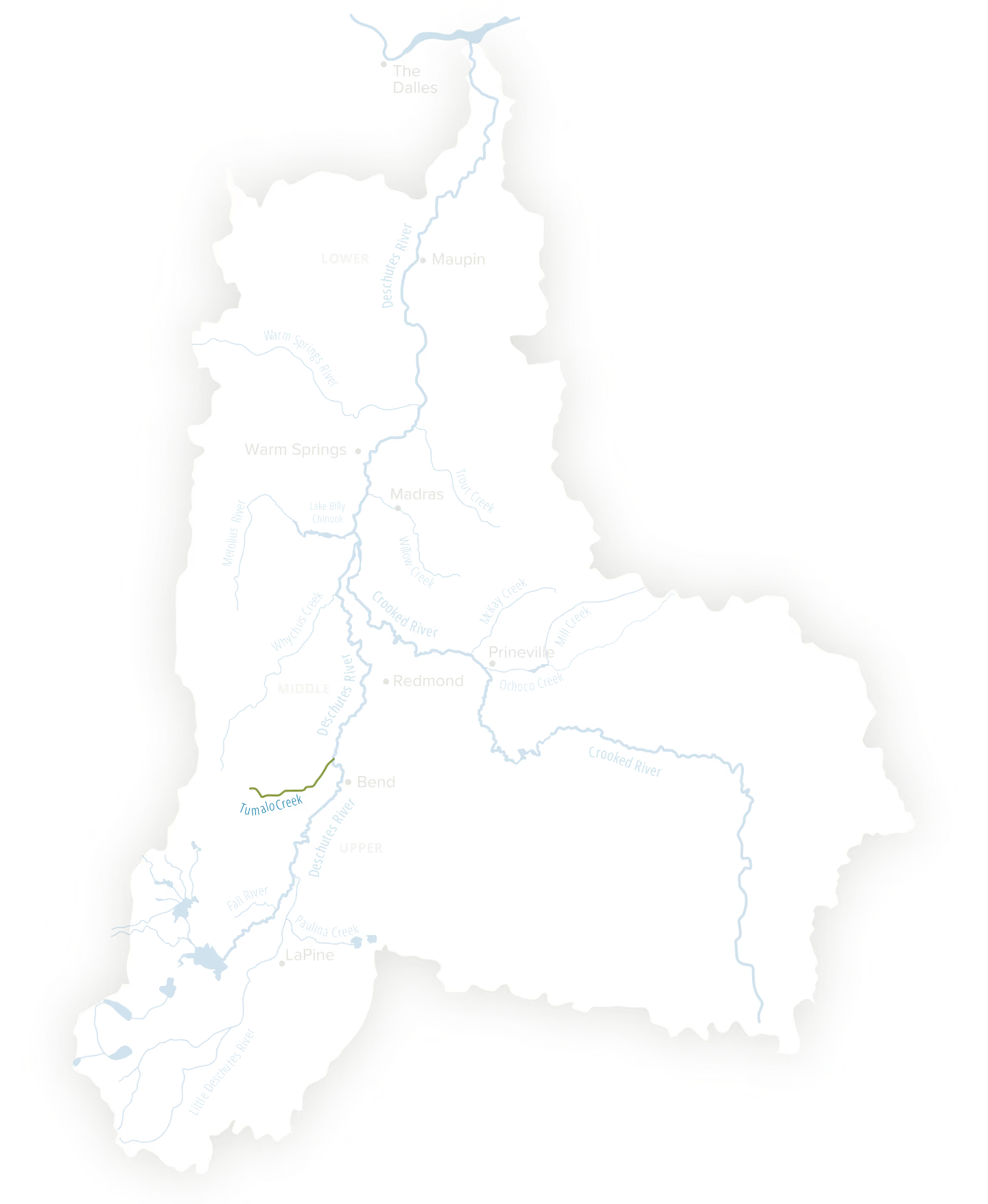
Tumalo Creek
Location
Tributary of the Middle Deschutes River
Focal Species
Redband Trout
Challenge
Low flows and cold water in the summer create habitat and water quality issues for fish and wildlife
Mapping the Deschutes Watershed
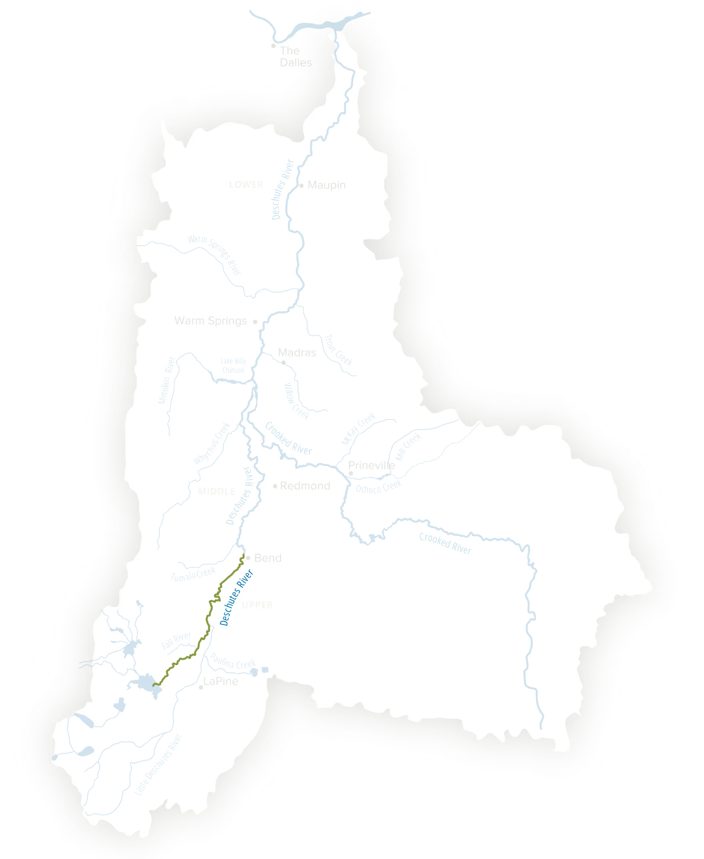
Upper Deschutes River
Location
Wickiup Reservoir to Bend
Focal Species
Oregon spotted frog and Redband Trout
Challenge
High flows in the summer and low flows in the winter damage habitat and river structure
Mapping the Deschutes Watershed
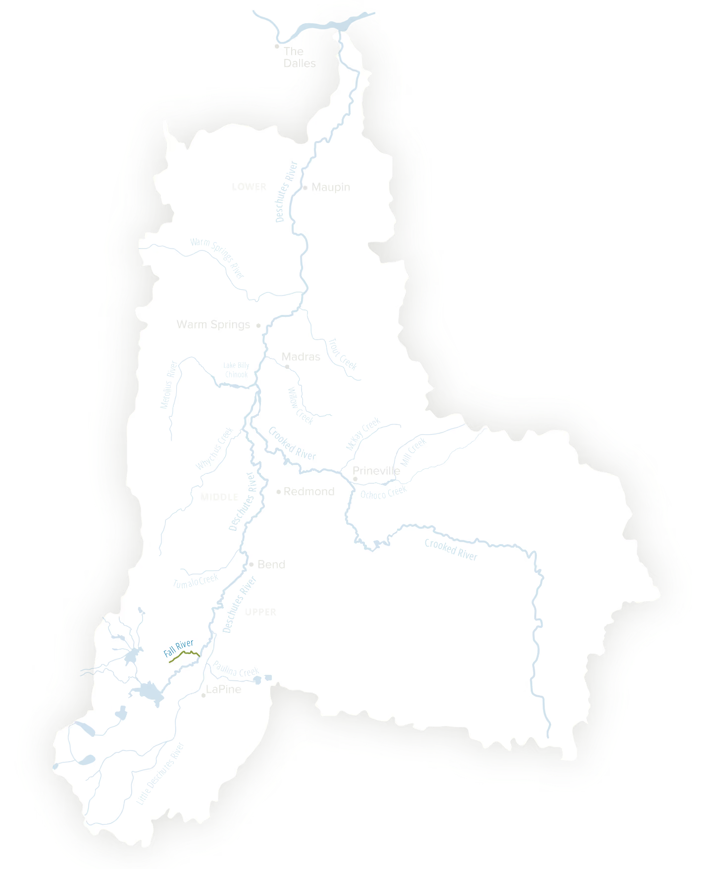
Fall River
Location
Tributary of the Upper Deschutes River
Focal Species
Redband Trout
Challenge
Vulnerable riverbank ecosystems leading to bank erosion and wildlife disruption which is linked to broader water management issues in the Upper Deschutes. Human impacts impact an ecosystem that already has many climate groundwater issues
Mapping the Deschutes Watershed
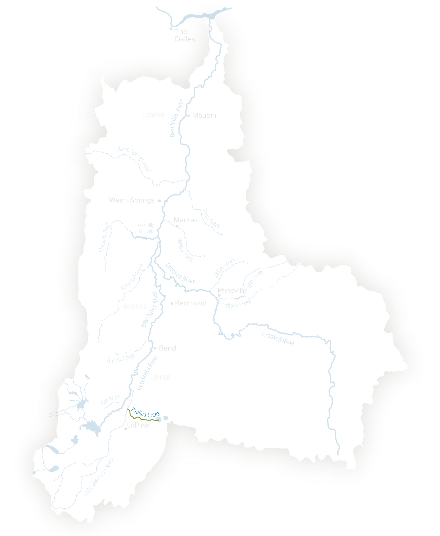
Paulina Creek
Location
Tributary of the Little Deschutes River
Focal Species
Oregon spotted frog, Redband Trout
Challenge
Low flows in both the summer and winter damage habitat and river structure
Mapping the Deschutes Watershed
Little Deschutes River
Location
Tributary of the Upper Deschutes River
Focal Species
Oregon spotted frog, Redband Trout
Challenge
Due to inconsistent flow, the Little Deschutes River suffers from water quality issues, habitat degradation and proliferation of nonnative species and nitrate contamination
DISCLAMER
** These focal species indicated reflect the core focus of DRC’s work. This is not a comprehensive list of all the species that could be found in the area.


.webp)

